Some mesh or point cloud datasets don’t have any georeference. There may be several reasons for that. For example:
-
They were modeled in a CAD tool that doesn’t deal with geospatial data.
-
They were scanned with a LIDAR sensor, and there was no GPS signal available at the time of recording.
In these cases, you can position and orient the dataset on the map yourself:
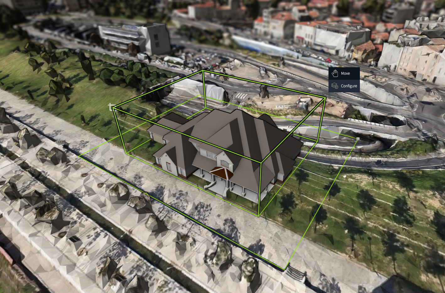
We call this process geolocalizing a dataset to a geolocation.
|
Geolocalization to a geolocation doesn’t equal fully fledged georeferencing.
During geolocalization, LuciadRIA generates an |
When to geolocalize a 3D Tiles layer?
To check if you need to geolocalize a TileSet3DLayer, have a look at the reference of its model.
If the reference of the model is a CoordinateReference with a CoordinateType.CARTESIAN, it’s a non-geospatial reference by definition.
If the map has a 3D Cartesian map reference, you can view the layer as-is. If the map reference is geospatial and if you don’t create a transformation for such a dataset, your application throws an error when it tries adding it to a map.
How to geolocalize a 3D Tiles layer?
The TileSet3DLayer class has a transformation parameter that you can set either at construction time, or during the lifetime of the object.
You can use the transformation property to configure a transformation for the model coordinates of the model of the layer. As a result, LuciadRIA re-positions, orients, and scales the non-georeferenced `TileSet3DLayer.
It’s recommended to use Affine3DTransformation. You can use it to generate an affine transformation and apply it to a TileSet3DLayer.
The Affine3DTransformation class offers static constructor functions.
You can use the createFromGeoLocation function for geolocalization purposes.
//Create geolocation point at longitude 50, latitude 5 degrees.
const geolocation = createPoint(getReference("CRS:84"), [5, 50]);

//Create Affine3DTransformation with the previously created geolocation, and an azimuth of 90 degrees.
const affine3DTransformation = createTransformationFromGeoLocation(geolocation, {azimuth: 90});

//Apply the affine3DTransformation to the layer
const tileSet3DLayer = new TileSet3DLayer(model, {
  transformation: affine3DTransformation,
  isPartOfTerrain: false
});
An Affine3DTransformation has a sourceReference and a destinationReference.
The default source reference is a non-geospatial Cartesian reference. Its X-axis points to the east, the Y-axis points to the north, and the Z-axis points upwards. This Cartesian reference is also the default reference if an OGC 3D Tiles dataset doesn’t have a spatial reference.
The default destination reference for the Affine3DTransformation.createFromGeoLocation factory function is a geocentric reference.
This is the default reference used by OGC 3D Tiles.
That’s why you should also use it for the purpose of geolocalizing an OGC 3D Tiles dataset.
For a demonstration of geolocalization, see the Geolocate OGC 3D Tiles sample.