About this release
The 2023.0 release of LuciadCPillar structurally extends the support for elevation data with DTED/DMED and GeoTIFF, and adds API to retrieve the height at a specific location. In addition, the release brings several updates and improvements.
Benefits of the new features
In this section, we list the new features that the 2023.0 release brings. Note that the information in this section applies to all platforms and programming languages that LuciadCPillar supports.
Elevation data beyond the pretty picture
LuciadCPillar has always offered terrain visualization as one of its features. From the outset, you can load GeoPackage data with elevation information, and LuciadCPillar displays the terrain as a mesh in 3D and drapes imagery over the terrain for a realistic rendition of the landscape.
In this release, we structurally extend the support for elevation data. Firstly, LuciadCPillar now supports the DTED/DMED and GeoTIFF data formats. GeoTIFF data containing imagery was already supported. As of this release, single-band GeoTIFF data using either 32-bit float or 16-bit integer data is considered elevation data.
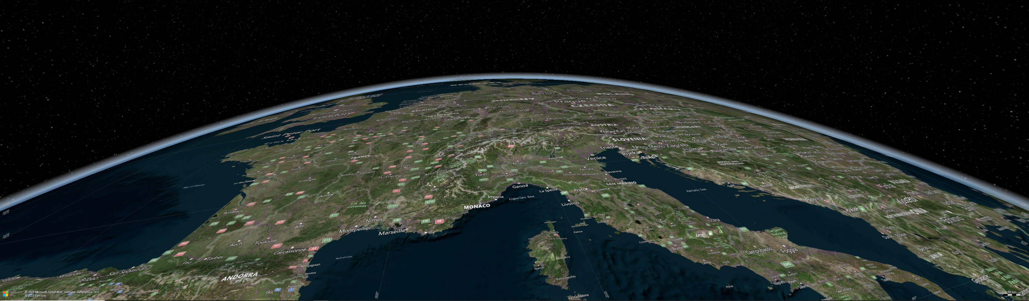
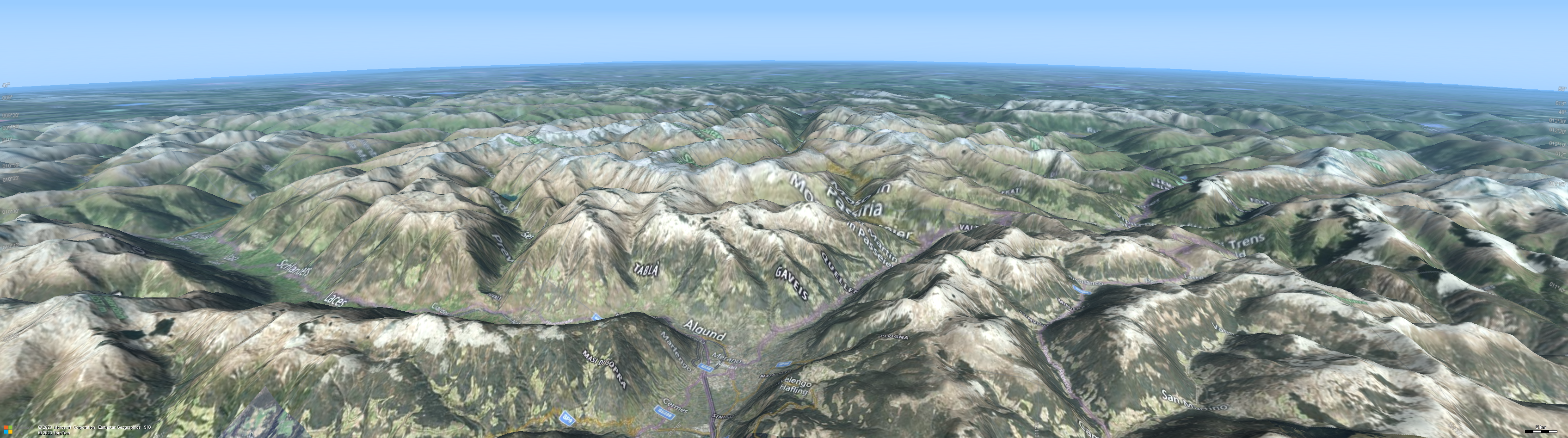
You can now also load multiple elevation data sets, each with a distinct geographical coverage, as illustrated by the figure Support for both low-resolution elevation data of Europe and high-resolution elevation data of Germany. In addition, you can now use the API to request elevation values for locations, such as the elevation data below the mouse cursor.
Documentation
The article How to load elevation data has been updated. It combines all information related to the topic. For more details, refer to the new articles Decode and visualize DTED and DMED elevation data and How to get height data from a raster model.
Updated software requirements
Requirements for C++ development on Linux
LuciadCPillar no longer supports Linux distributions using the old ABI. This means that you cannot develop and deploy LuciadCPillar 2023.0 on RHEL 7 or CentOS 7.
Requirements for Android development
For LuciadCPillar 2023.0, we raised the supported Android API version from API Level 28 (Android 9) to API Level 29 (Android 10). See Requirements for Android development for more information.
Documentation and contact information
All software and system requirements are collected and kept up-to-date in the article Hardware and software requirements.
If you have any further questions or feedback on this topic, please contact the Luciad Product Management team at product.management.luciad.gsp@hexagon.com.
Other improvements
- Military unit symbol icons
-
You can now request military unit symbols as icons. This comes in handy when you want to use the military icons in UI components, in addition to visualizing your tactical plans on the map. An example of such a UI component could be a mission-specific order of battle (ORBAT) view.
- Authentication headers and query parameters on HTTP requests
-
You can now add authentication headers and query parameters to HSPC, OGC 3D tiles, WMS, and WMTS requests. You can also change these headers and parameters. Additional information is available in the article How to customize HTTP requests to load access-restricted data.
- WMTS client support for irregular tile structures
-
The LuciadCPillar WMTS client now supports data organized in an irregular tile structure. This improvement relates to the WMTS tile matrix set concept. For example, a set of tile matrices can define distinct tile matrices and can be optimized for particular scales with distinct top left corners.