You can constrain the user navigation on the map by using one of these constraints:
-
Above terrain or mesh: always keeps the camera at a configurable minimum altitude above the terrain or mesh. This constraint has an effect on a 3D map only. By default, the above-terrain constraint is active, and the above-mesh constraint isn’t.
-
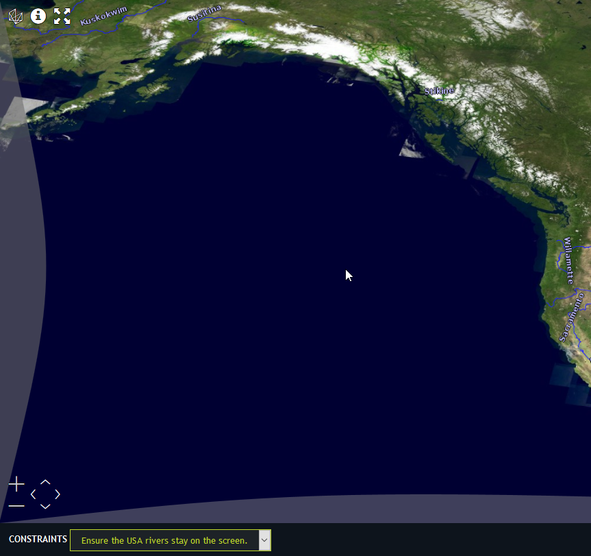
Bounds constraint: always keeps the map within the configured bounds. This constraint has an effect on a 2D map only. By default, there is no bounds constraint.
-
Scale constraint: keeps the map within a defined minimum and maximum scale range. This constraint has an effect on a 2D map only. By default, there is no scale constraint.
MapNavigatorConstraints allows you to configure the constraints.
You can set them through the constraints property of MapNavigator.
|
The constraints only apply when you aren’t manipulating the map camera directly. See |
  const boundsRef = getReference("EPSG:4326");
  const bounds = createBounds(boundsRef, [-180, 360, -90, 180]);

  map.mapNavigator.constraints = {
    above: {
      terrain: true,
      mesh: false,
      minAltitude: 10
    },

    limitBounds: {
      bounds: bounds,
      padding: {
        top: 1,
        bottom: 1,
        left: 5,
        right: 5
      }
    },

    scale: {
      minScale: 2e-8,
      maxScale: 2e-4
    }
  };
|
When you have set both a scale and a bounds constraint, the two constraints may conflict.
For example, you set the 'maxScale' constraint to a country level scale, while you set the bounds constraint to the bounds
of a city.
In such a case, LuciadRIA respect the bounds constraint, and not the |
|
2D maps also support map navigation constraints. If you set the bounds constraint, you can’t rotate the map. On a 3D map, bounds and scale constraints are ignored. |