How can you use shape visibility?
In many domains, it can be useful to find out how visible an object is from a particular location. That kind of knowledge is of interest in aviation, defense, architecture and design, and so on. For instance, you may want to know how visible a fixed structure or moving vehicle is from a certain observation point.
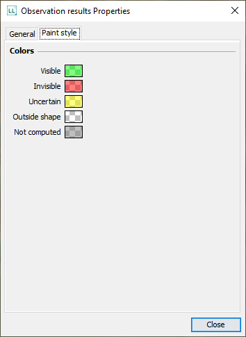
The Terrain analysis Engine, optionally included with LuciadLightspeed, allows you to assess point-to-shape visibility. It can calculate to what extent a point, polyline, or polygon on the map is visible from a particular observation point on the map, and visualize the result. The colors applied to the shape indicate the visibility. By default, red indicates invisibility of the shape, while green indicates that the shape is visible to the observer. Yellow indicates that the visibility calculation returned an uncertain result.

How is shape visibility calculated?
The Terrain Analysis Engine splits each observed object into pixels, and evaluates the visibility from the observation point for each pixel. The visibility calculation results in a matrix of calculated values associated with the pixel coordinates. Those values are interpreted to a specific visibility rating for each pixel in the shape object. The visibility rating can be VISIBLE, or INVISIBLE, or UNCERTAIN, for instance. The visibility is constantly re-evaluated for moving observations and observed objects.
How are the colors assigned?
Each visibility rating is mapped to a specific color within a color range.

The mapped colors are applied to the pixels of the shape displayed on the map. The end result is a color-marked point icon, a colored polyline, or a color-filled polygon. Polygons and polylines may be multi-colored.